 Elvermont

Satellite evidence of physical change, measured and dated.
Elvermont analyses multispectral satellite imagery to measure how land and built environments change — clearance, extraction, construction, restoration — and turns it into independent, defensible evidence for decisions about large sites.
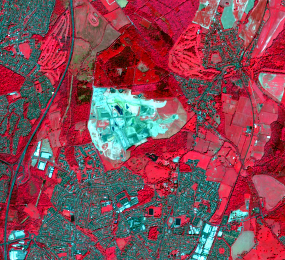
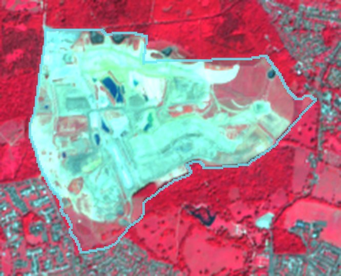
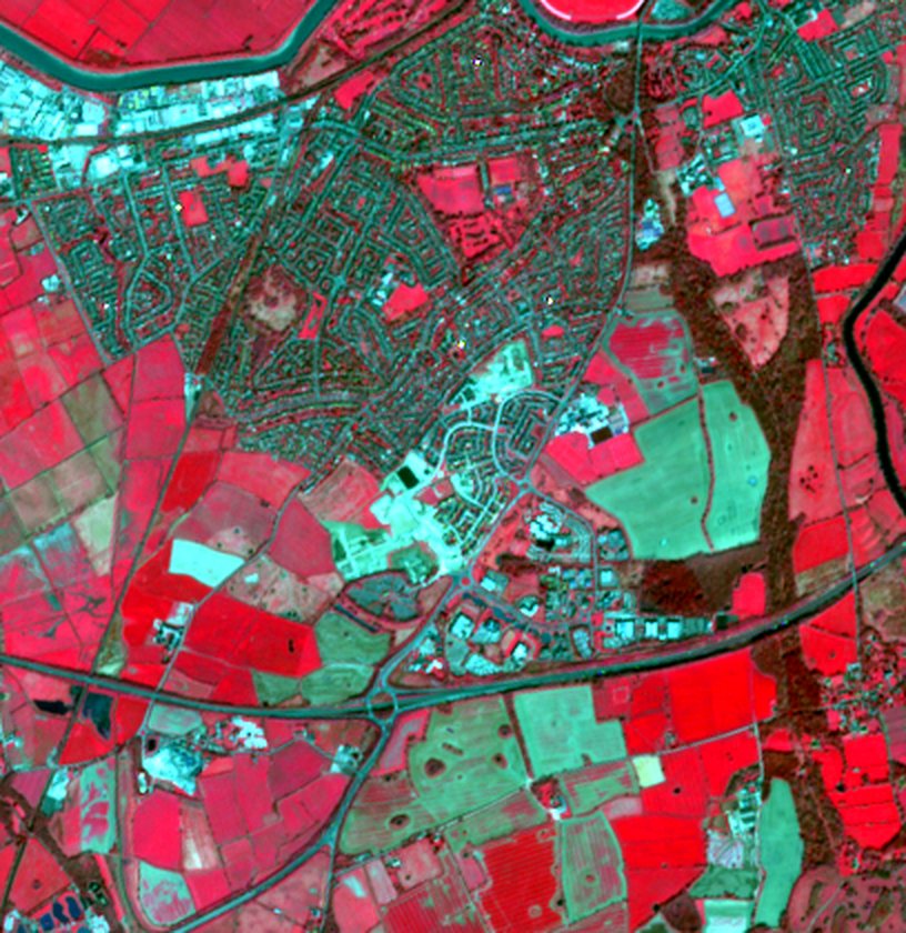
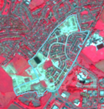
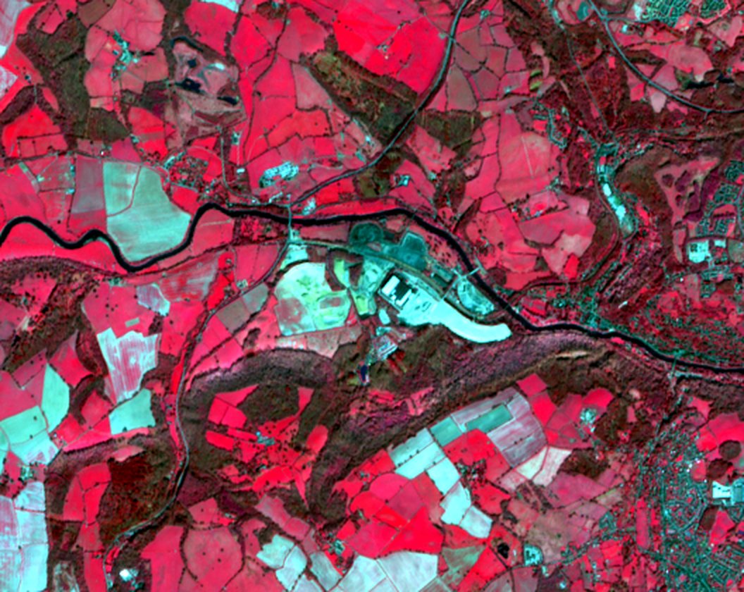
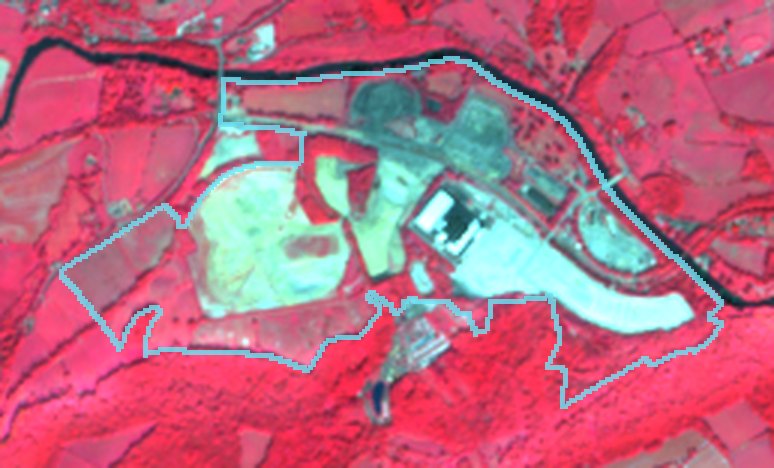
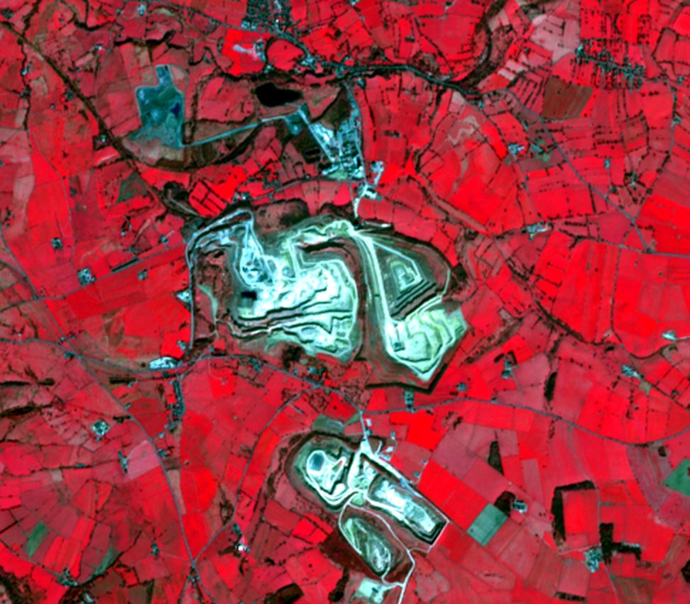
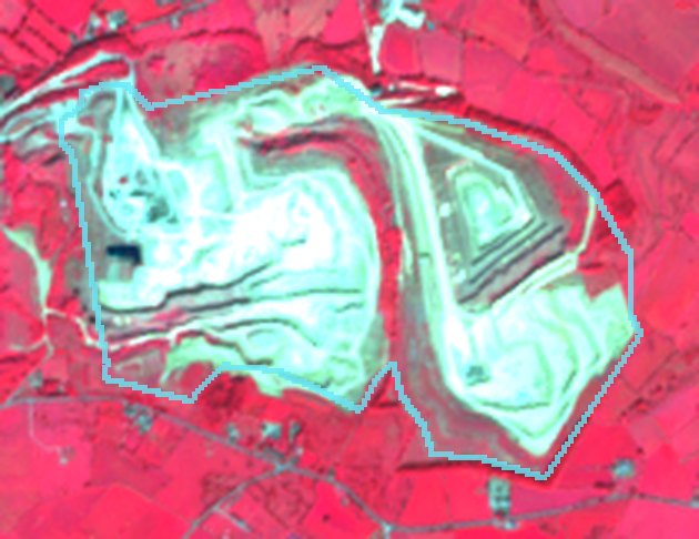
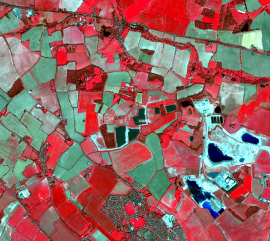
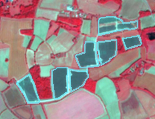
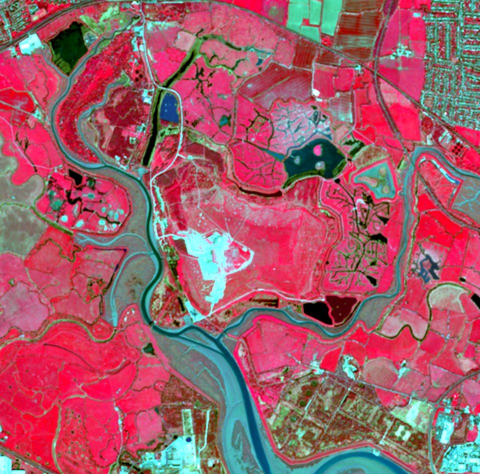
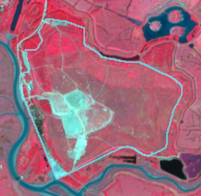
Near-infrared composites from Elvermont analyses — healthy vegetation renders red, bare ground and built surfaces cyan-grey.
Physical change you can see, quantify and defend.
Spectral signatures separate vegetation, bare earth, water and engineered surfaces. Comparing like-for-like seasons isolates genuine change from weather, shadow and the farming calendar.
Clearance & earthworks
Vegetation removal, soil stripping, haul roads and platform construction — mapped and measured in hectares.
Extraction & restoration
Quarry face advance, new extraction cells, stockpiles and the return of vegetation on restored ground.
New built footprint
Warehouses, yards, hardstanding and infrastructure appearing on previously open land.
Energy infrastructure
Ground-mounted solar arrays and associated works, from first disturbance to completed build-out.
Water extent
Lagoons, reservoirs and flooded workings — open-water extent tracked through the short-wave infrared.
Land condition
Vegetation vigour and bare-soil indices over time, separating real change from seasonal variation.
Representative analyses
Examples produced by Elvermont from archive imagery to show the method across different site types. They are not client work; locations are described at regional level only.
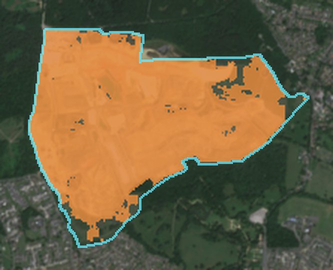
Reservoir construction earthworks
141 ha of change · 91% of site
Apr 2018 – Sep 2018 → Apr 2025 – Sep 2025 · South East England
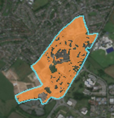
New residential neighbourhood
39 ha of change · 79% of site
Apr 2018 – Sep 2018 → Apr 2025 – Sep 2025 · North West England
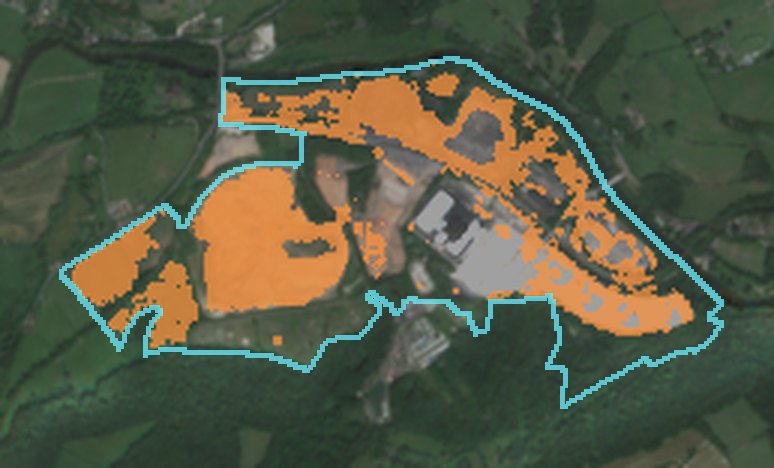
Former power station redevelopment
55 ha of change · 40% of site
Apr 2018 – Sep 2018 → Apr 2025 – Sep 2025 · West Midlands
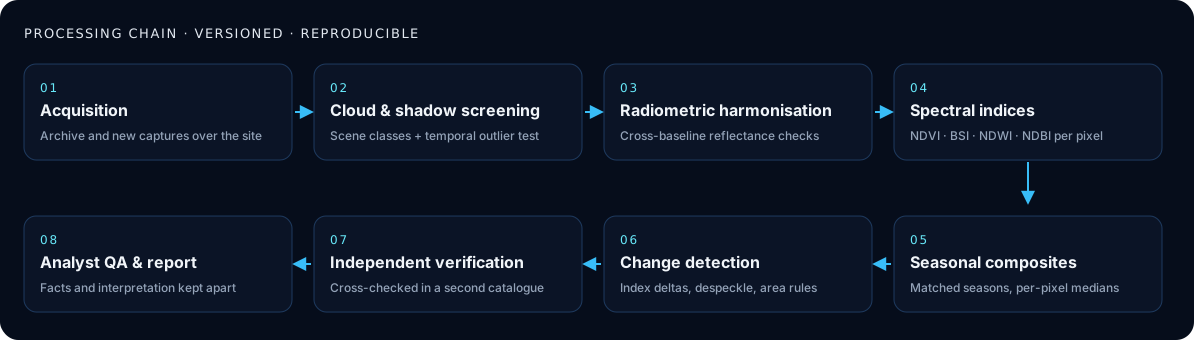
A versioned, reproducible processing chain.
Every result passes through the same audited steps — from per-pixel cloud screening to independent catalogue verification and analyst review — and is stored with the exact captures and method version that produced it.
Tested blind against official records.
Before offering the method we tested it against an independent UK government register of energy projects, using pre-registered thresholds.
Built for decisions about large sites.
Infrastructure and energy, industrial and logistics property, extraction and restoration, land and environmental advisory.
Have a site in mind?
Send the location and the question. We assess the imagery available for your dates before anything is agreed.